Applications
At LumiDrones, every application we support is based on practical experience gained in the field through LumiFly.
At LumiDrones, every application we support is based on practical experience gained in the field through LumiFly — inspecting assets, mapping terrain, and operating drones in demanding environments.
We work with drones as tools, not gadgets. From energy infrastructure and construction sites to public safety and environmental monitoring, we understand what different industries need from aerial data — and how to capture it reliably, safely, and efficiently.
This page highlights the most common applications we support, along with the DJI platforms best suited for each task. If your use case falls outside the standard categories, we’re always happy to discuss it — because real-world operations rarely fit neatly into boxes.

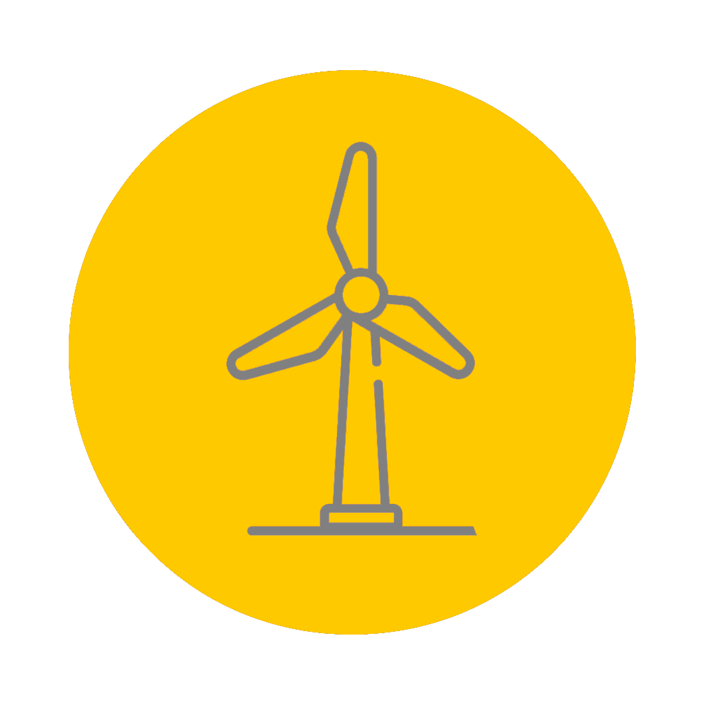
Energy & Utilities
DJI enterprise drones enable safe, efficient inspections of wind turbines, power lines, and substations without shutdowns or rope access. High-resolution zoom and thermal sensors detect faults early, reducing downtime and maintenance costs while improving operator safety.
Recommended drones:
- DJI Matrice 350 RTK — primary enterprise inspection platform
- DJI Matrice 300 RTK — versatile and rugged choice
- DJI Matrice 400 — heavy payload support for advanced sensors
- DJI Mavic 3 Enterprise Series (M3E / M3T) — portable option for smaller sites
- DJI Mavic 3T — thermal + visual inspection capability
- DJI Dock 3 with Matrice 4D / 4TD — ideal for continuous, scheduled inspections on remote infrastructure

Construction & Infrastructure
Aerial data provides clear oversight of construction sites from planning to completion. Drones support progress tracking, volumetric calculations, and 3D modeling, helping stakeholders make informed, data-driven decisions.
Recommended drones:
- DJI Matrice 400 – long-endurance flights with advanced sensors for large construction sites
- DJI Matrice 350 RTK — enterprise 3D capture and long missions
- DJI Mavic 3 Enterprise Series — efficient visual documentation
- DJI Dock 3 + Matrice 4D / 4TD — good for scheduled site monitoring and repeatable mapping flights
- DJI FlyCart Series – material transport to inaccessible or elevated worksites
Mapping & Surveying
RTK-enabled drones deliver highly accurate orthomosaics, point clouds, and terrain models. Automated flight paths and repeatable missions ensure consistent data quality for GIS, CAD, and environmental analysis.
Recommended drones:
- DJI Matrice 400 – high-precision mapping with LiDAR, multispectral, or combined payloads over wide areas
- DJI Matrice 350 RTK — enterprise mapping with RTK
- DJI Mavic 3 Enterprise Series — efficient for small to mid areas
- DJI Dock 3 + Matrice 4D / 4TD — scheduled mapping for repeat surveys or change detection
Public Safety & Emergency Response
Thermal imaging and powerful zoom capabilities provide real-time situational awareness during search and rescue, firefighting, and incident response. Fast deployment and reliable performance are essential in time-critical missions.
Recommended drones:
- DJI Matrice 4 Series (M4D / M4DT) — high-end thermal + zoom for response
- DJI Matrice 350 RTK — reliable in varied conditions
- DJI Mavic 3 Thermal / Mavic 3T — portable thermal for quick response
- DJI Avata 2 — FPV awareness in confined spaces
- DJI Dock 3 (with Matrice 4D / 4TD) — fixed base rapid response readiness and perimeter monitoring
Environmental Monitoring
Drones enable non-intrusive monitoring of coastlines, forests, wildlife, and ecosystems. Repeatable flight missions support long-term environmental studies and change detection with minimal environmental impact.
Recommended drones:
- DJI Matrice 350 RTK — wide area work and multispectral/thermal support
- DJI Matrice 300 RTK — flexible payload integration
- DJI Mavic 3 Enterprise Series — good balance of quality and portability
- DJI Dock 3 + Matrice 4D / 4TD — scheduled environmental flights for long-term monitoring
- DJI Agras T50 – targeted treatment of vegetation and controlled environmental interventions
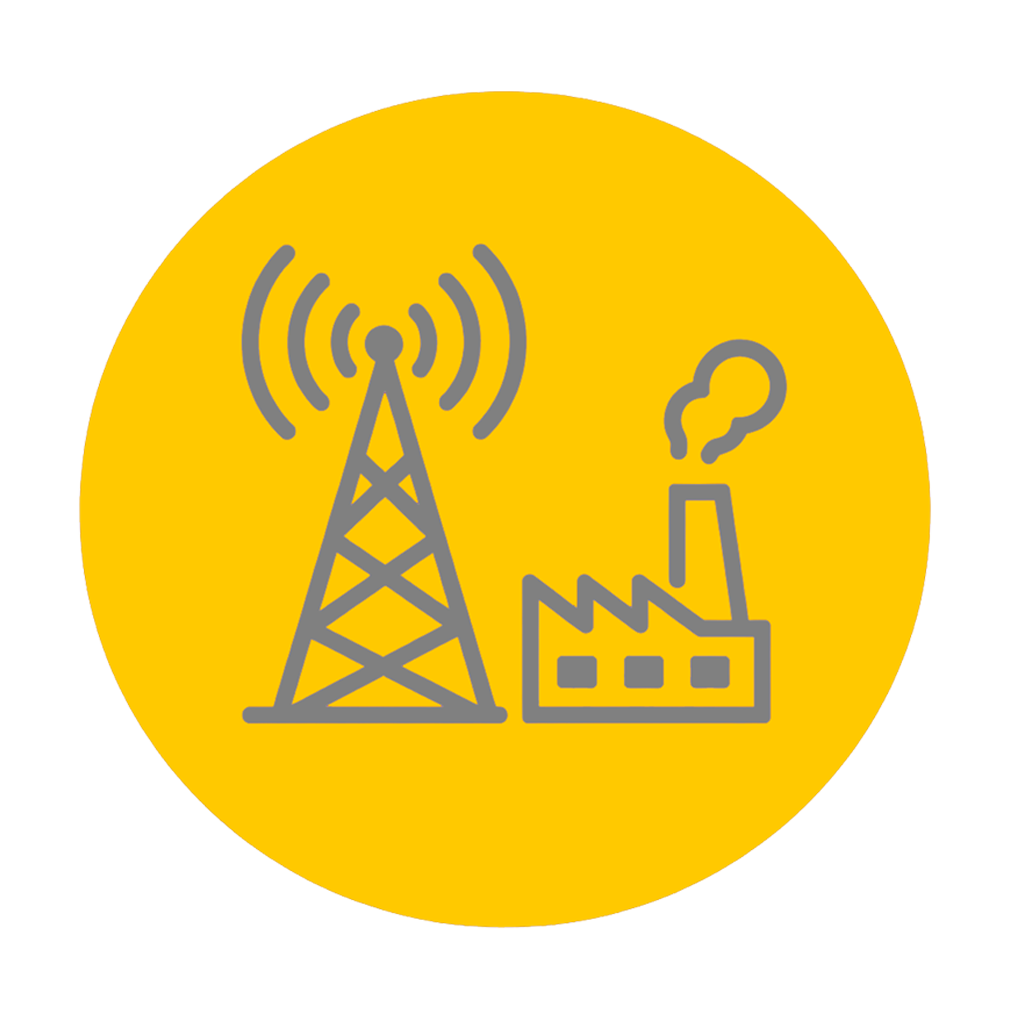
Telecommunication & Industrial Facilities
High structures such as communication towers and industrial plants can be inspected efficiently from multiple angles. RTK positioning and automated workflows improve repeatability and documentation quality.
Recommended drones:
- DJI Matrice 4 Series (M4D / M4DT) — zoom + thermal synergy for towers
- DJI Matrice 350 RTK — enterprise inspection platform
- DJI Mavic 3 Enterprise Series — agile imaging for tight spaces

Media & Creative Production
Enterprise drones also support professional documentation and promotional content for industrial projects, infrastructure showcases, and corporate media — especially where stability and image quality matter.
Recommended drones:
- DJI Mavic 3 Pro — top creative imaging quality
- DJI Air 3 — great portability and sensor balance
- DJI Avata 2 — immersive FPV storytelling
- DJI Mavic 3 Classic — high-quality visuals for promo
Training & Education
DJI enterprise platforms are widely used for professional training in surveying, inspection, and applied research. Their safety systems and predictable flight behavior make them suitable for educational environments.
Recommended drones:
- DJI Matrice 350 RTK — enterprise workflow training
- DJI Mavic 3 / Air 3 — prosumer training flights
- DJI Avata 2 — FPV training fundamentals
Agriculture
Drones support precision agriculture by enabling crop monitoring, irrigation optimization, and thermal analysis. Accurate georeferenced data helps improve yields while reducing resource use.
Recommended drones:
- DJI Matrice 400 – advanced crop and land analysis using multispectral and thermal payloads on large fields
- DJI Matrice 350 RTK — large field coverage, multispectral options
- DJI Matrice 300 RTK — flexible sensor mounts
- DJI Mavic 3 Enterprise Series — efficient crop monitoring
- DJI Dock 3 + Matrice 4D / 4TD — scheduled field monitoring and long-term crop assessment
- DJI Agras T50 – precision spraying, spreading, and crop treatment at scale with automated field workflows